Railway Area Flood Assessment
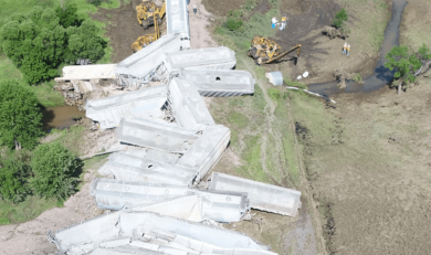
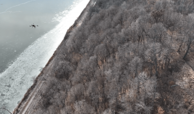
Pinnacle Engineering analyzed 29 miles of mainline track adjacent to a major river system. The majority of the rail line was in a remote area, and survey and flood data were not readily available. Analysis was required as quickly as possible so that new, properly sized culverts could be installed.
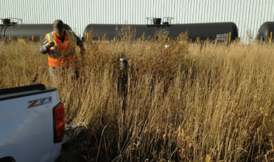
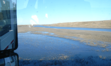
Pinnacle engineers provided hydraulic analysis, surveying, GIS mapping, regulatory representation, environmental analyses, and environmental permitting. The Pinnacle team adapted LIDAR (aerial topography) data from the County to create a track profile map which included survey data, elevations of culverts and bridges, and an analysis of water levels.
Upon completion of a revised flood study, additional work was scheduled, enabling Pinnacle’s client to adjust bridge heights to avoid future damage from 100-year event floods.